
Imagining Land-Use Reforms: Can Mixing Reduce Long Distance Travel?
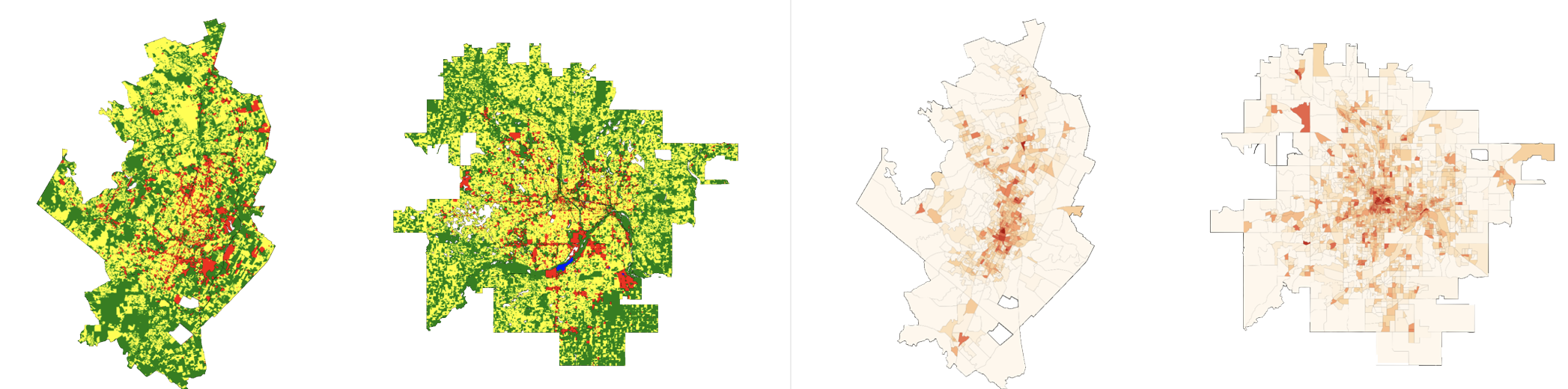
We combine nationwide parcel-level land-use data with GPS mobility records from over 400 U.S. cities, and train a generative adversarial network (GAN) to predict the relationship between land-use mixing and the share of trips taken within a 15-minute walk. On average, simulated reforms that increase land-use mix by 20% are associated with a 7% relative increase in short-distance trips—but in one-quarter of cities, the same increase in land-use mix produces gains up to three times larger. We also find that targeting low-density or single-use neighborhoods is associated with improvements comparable to citywide reforms. These results highlight new opportunities for planners to explore where zoning strategies may reduce travel distances.
